
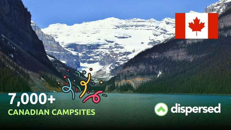
Dispersed has expanded north. Starting with version 1.3.0, the app covers Canadian public lands — over 7,000 campsites and 8,000 public land areas across four provinces.
We've mapped Crown land, provincial parks, national forests and recreation areas across British Columbia, Alberta, Ontario and Québec. Each land area includes sourced camping regulations where available — who manages it, whether dispersed camping is allowed, and where to verify the rules.
British Columbia has the deepest coverage: Crown land, BC Parks, and the province's recreation sites and trails network. Alberta includes provincial parks, wildland areas and public land use zones. Ontario covers Crown land, provincial parks and conservation reserves. Québec brings in SÉPAQ parks, ZECs, and municipal and provincial campgrounds.
Canada's public land system works differently than the US. There's no single equivalent to the BLM or Forest Service — land management is split across federal, provincial and territorial agencies, each with its own rules. We've normalized all of that into the same interface: tap a piece of land and you get the managing agency, the camping rule and a link to the source.
Update your apps toversion 1.3.0 for full Canada support, including Canadian land boundaries, agency labels and campsite pins on the map.
Expanded data for Alberta, Saskatchewan, and Manitoba are in the works, but I couldn't wait to get this data out there to you guys.
Happy camping and thanks for using Dispersed!
-Casey